Our Trail
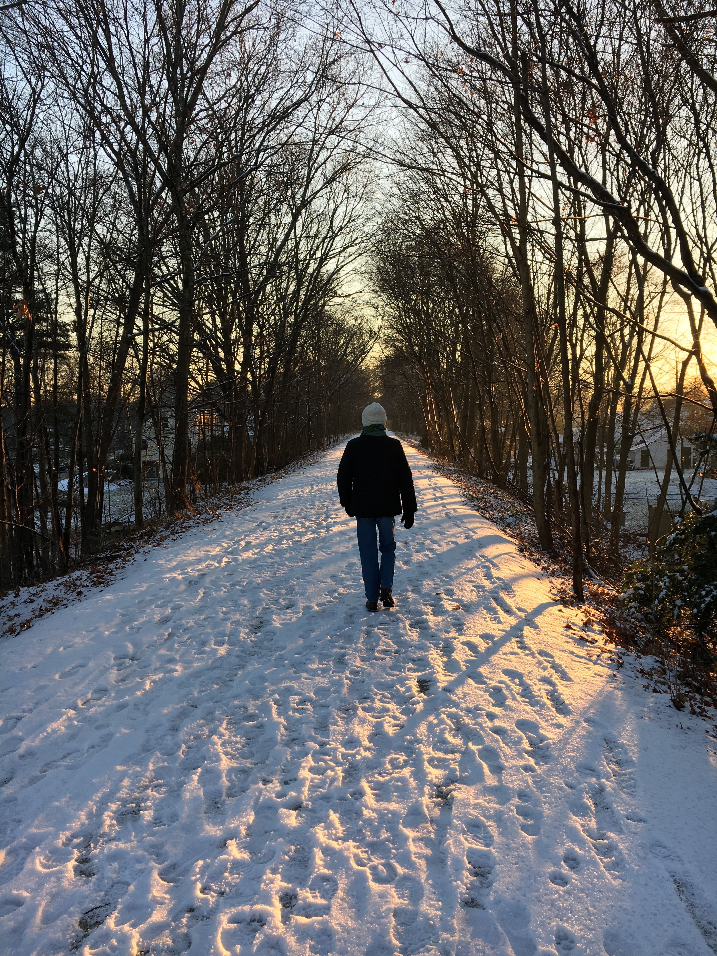
The Holliston Rail Trail is part of a larger Trail system known as the Upper Charles Trail (UCT).
When completed, the UCT will be a multi-use trail system approximately 26 miles long that will connect the towns of Sherborn, Holliston, Milford, Hopkinton, Framingham, and Ashland.
Here is the status as of 2022 of the completed and connected miles of the UCT:
Milford: 6.6 miles (known as Milford Upper Charles Trail)
Holliston: 6.7 miles (known as Holliston Rail Trail)
Sherborn: 0.3 miles
Total: 13.7 miles connected
The Holliston Rail Trail runs across Holliston from the Sherborn to Milford town lines. The Milford Trail is paved and connects seamlessly from the Holliston Rail Trail at the town line then runs to the Hopkinton town line.
The Holliston Rail Trail accommodates a variety of non-motorized uses such as bicycling, walking, jogging, wheelchairs, and cross-country skiing. The use of motorized vehicles on the Trail is prohibited but Ebikes are permitted (Class 2 and below) and speeds must be kept low, below 20 mph.
The total UCT trail system length depends on the final route of the trail and what towns join in. If Framingham joins in there is the potential to connect the UCT to the Bruce Freeman Rail Trail which can then connect with the Mass Central Rail Trail. Parts of these trails would then become sections of the larger New England Greenway and the East Coast Greenway running from Florida to Maine and beyond!
Parking
Mayflower Landing- On-street parking
School Complex (323 Woodland Street) during non-school hours or events
Blair Square: Off Front Street (do not park at CVS)
Municipal parking lot: Off Exchange Street
Cross Street: On-street parking
Hopping Brook Road: Next to Solect Solar Facility
NO PARKING on South Street, Fisher Street, Chestnut Street, Wedgewood Drive, or Summer Street
Download a detailed PDF map of the Upper Charles Rail Trail.


