Connecting Holliston
Friends of Holliston Trails are connectors
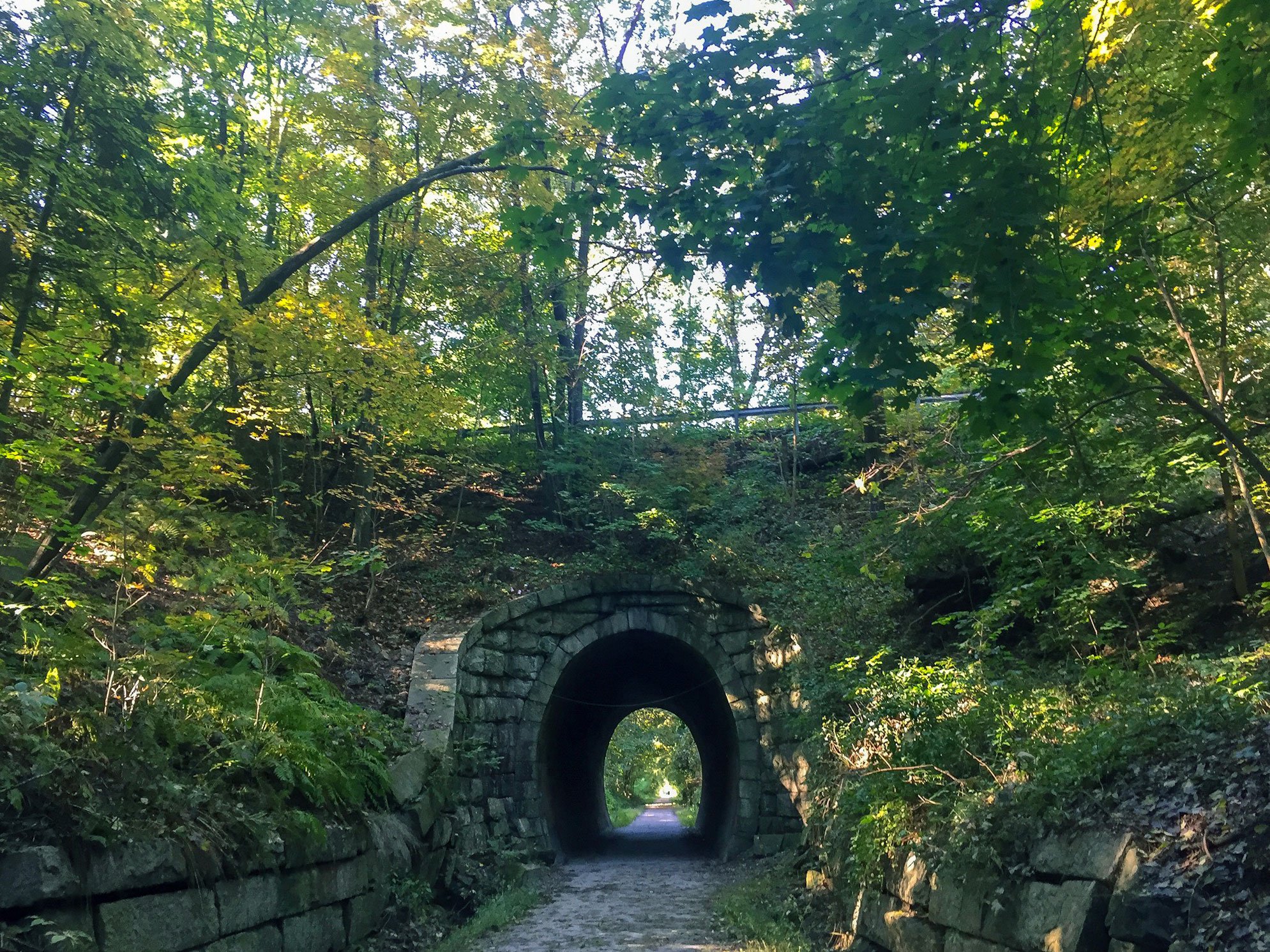
Our trail links people to different neighborhoods and even to other towns, helping to keep residents connected to each other. We maintain a safe, multi-purpose trail, bring the community together by hosting family-friendly events on the trail, and support a healthful community with open space to honor fitness goals. Read more about our mission.
By the numbers:
east 6.7 miles
group 10,000+ volunteer hours since 1998
grain 3,600 cubic yards of stone dust
grain 11,666 cubic yards of gravel
groups 750+ daily users
group 27 grant recipients to date
Share the Trail
As a true multi-purpose trail, we welcome leashed dogs and horses. All pet owners are responsible for cleaning up after their animal on the trail. Please remove pet waste immediately.
2025 New Program
Pink Granite Pedalers | Adaptive Bike Program
The founding of the trail
More than 20 years ago a group of residents had a shared vision to protect open space and eventually convert the existing railroad track into a multi-purpose trail. The ultimate vision is for five towns to create a 24+ mile loop, known as the Upper Charles Trail. . Read more about the history.
Trail etiquette
Trail systems throughout the United States have a common language for how trails can be shared by different users. We welcome walkers, runners, bikers (non-motorized), horses, cross-country skiers, and showshoers, but we all need to understand how to share the trail. Read more trail etiquette.
Parking
Mayflower Landing- On-street parking
School Complex (323 Woodland Street) during non-school hours or events
Blair Square: Off Front Street (do not park at CVS)
Municipal parking lot: Off Exchange Street
Cross Street: On-street parking
Hopping Brook Road: Next to Solect Solar Facility
NO PARKING on South Street, Fisher Street, Chestnut Street, Wedgewood Drive, or Summer Street


